Map illustration Skills for city and concept maps
Two kinds of map, two Skills: an illustrated street map from real geography, or a fantasy world map that lays out an abstract topic as regions and routes.


 and 30+ other agents
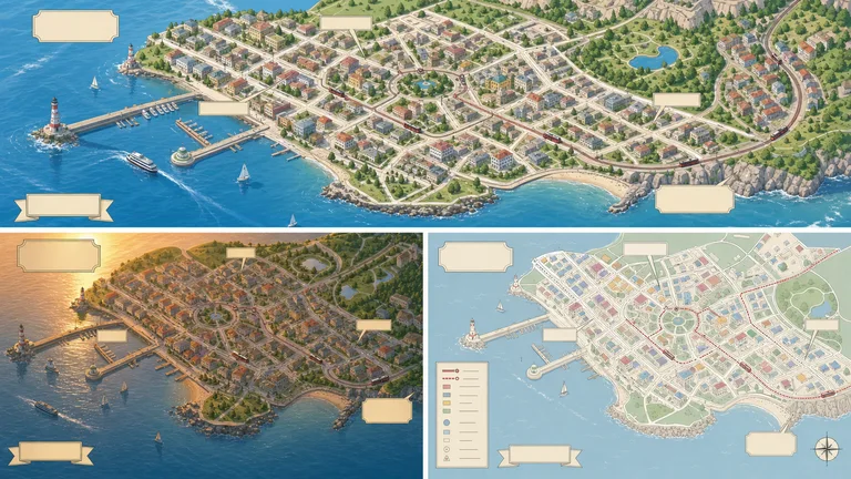
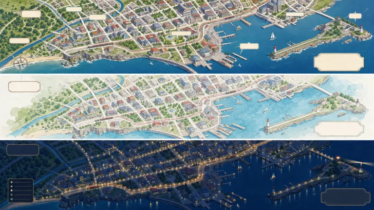
City map illustration examples
City Street Map Illustrator keeps decorative landmarks apart from navigational truth. Each run gives three 16:9 directions.
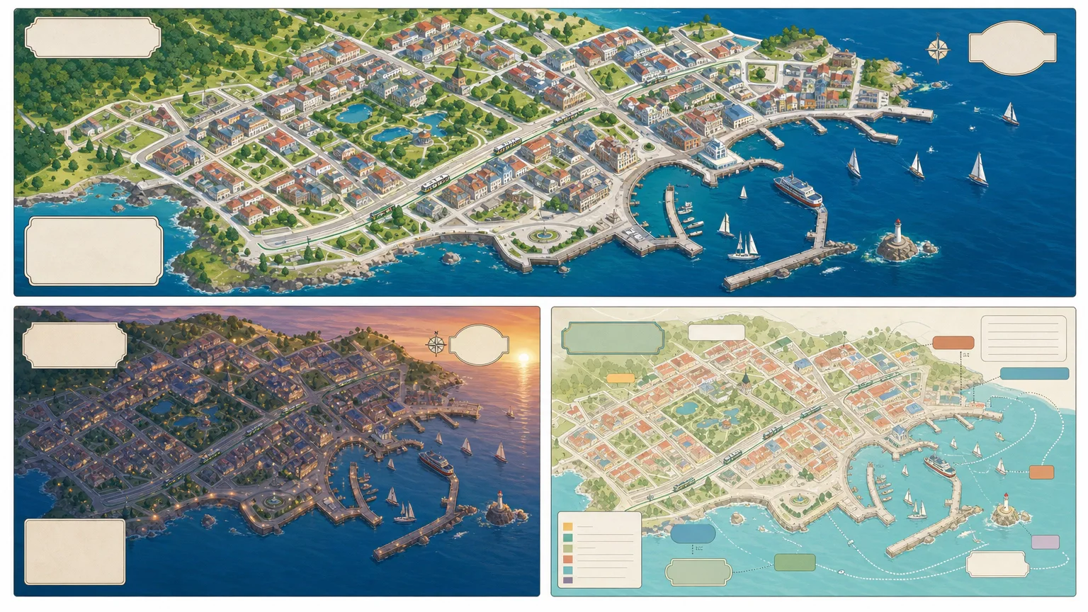
City Street Map Illustrator
Creates an original illustrated street-map scene from verified geography while separating decorative landmarks from navigational truth. It delivers exactly three distinct 16:9 visual directions with explicit evidence, rights, and review boundaries.
You bring
- Approved city boundary, street skeleton, and orientation
- Verified landmark list and relative placement
- Illustration mood, ratio, palette, and label plan
You get
- Three distinct 16:9 finished previews demonstrating city street map illustrator
- A reusable workflow that keeps supplied facts, assumptions, rights, and unresolved items separate
- A production brief and quality gate for repeatable visible output
Runs on
FAL account — required · Node.js 20 or newer — required · Image generation uses one paid FAL task for three directions. Review the brief before submission; a failed task is never retried automatically.
Also for this job

Fantasy concept maps from abstract ideas
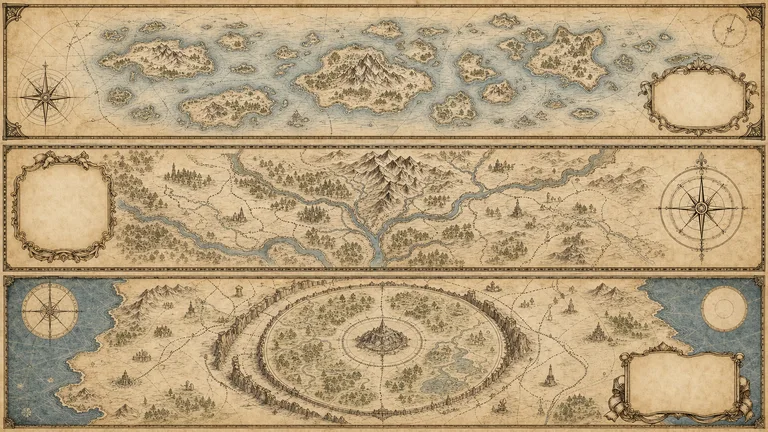
A concept map borrows the look of a fantasy world map to explain something that is not a place: a project, a field of study, a product strategy. Regions stand for themes, routes for paths, landmarks for milestones.
Weekend Walks
A slow walking tour of the old town
 Mei Tanaka· 6 min read
Start at the river bridge, follow the market streets uphill and end at the garden with the best view of the rooftops. The map below has every stop.
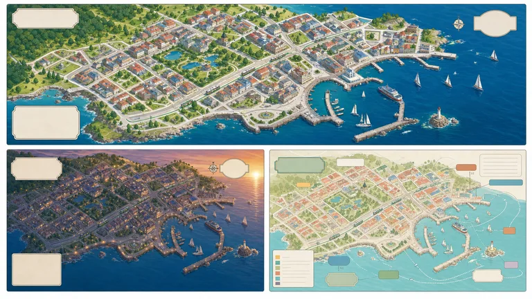
- City street map
- Real streets and landmarks, illustrated
- Fantasy concept map
- An abstract topic shown as regions and routes
- You provide (city)
- Boundary, street skeleton, verified landmarks
- You provide (concept)
- Regions, relationships, exact legend labels
- Output
- Three distinct 16:9 directions per run
- Running cost
- One paid FAL task per run
Choose a map brief and verify its labels
Maps look authoritative, so the labels have to be right.
 1
1Install a Skill
City map or concept map: paste its install prompt into your agent.
 2
2Write the brief
Give the geography or the regions, the mood and the exact label list.
 3
3Check every label
Compare names and placements with your sources before you publish.
Why not just ask your AI for a map illustration?
Asking directly gets you a result. A Skill adds the parts that make it reliable and repeatable.
Map illustration FAQ
What these Skills do not do
- They are not for navigation or route planning.
- They do not generate random tabletop or game terrain.
- They do not copy branded or protected map styles.
Can I make an illustrated map of my own city?
Yes. Give City Street Map Illustrator the boundary, the main streets and a verified landmark list. It draws an original street-map scene and adds a navigation disclaimer.
Can these Skills make a fantasy world map?
Fantasy Concept Map uses the fantasy-map look to explain a real topic, with regions, routes and landmarks you define. It is not a random world generator for games.
How are labels handled?
Both Skills keep exact labels in a separate legend and plan, so you can check spelling and placement instead of trusting generated text.
What does a run cost?
Each Skill is a one-time purchase or part of a Skillry plan, and each run uses one paid FAL task for three directions.
More jobs for content creators
Each job has its own Skills, real examples and FAQ.
 Infographic postersExplain one idea in one picture
 Article illustrationsOne idea from your article, drawn
 Doodle illustrationsCute crayon art for playful posts
 Blog cover imagesA lead image that carries the argument